27th February 2013
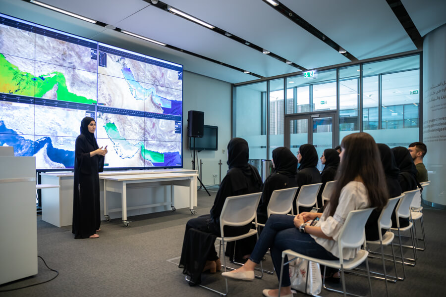
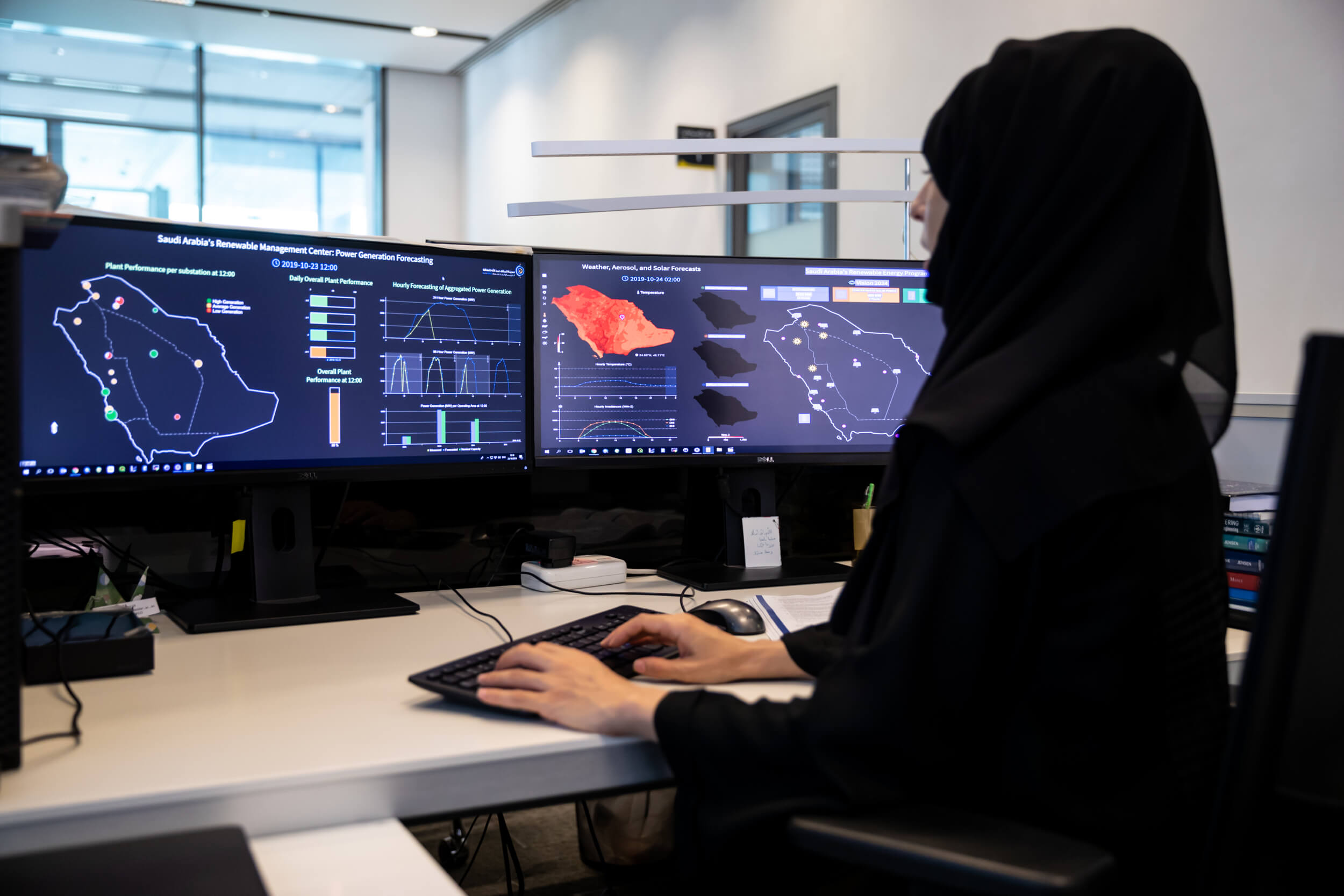
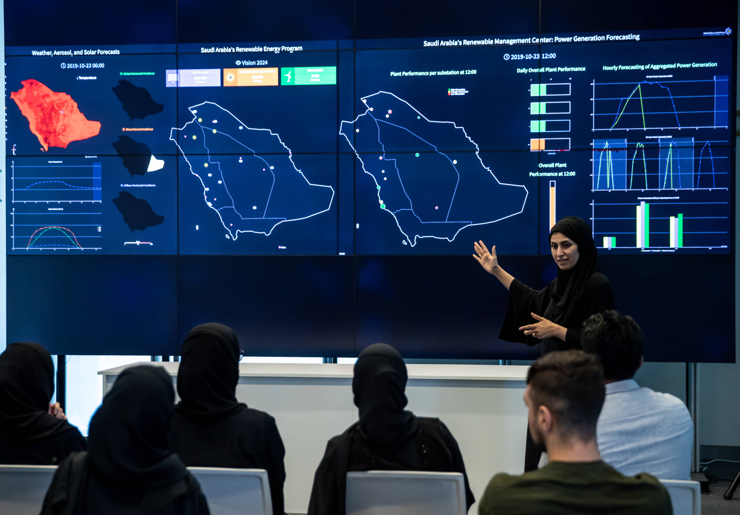
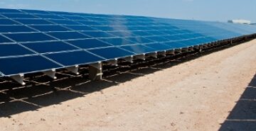
Research Engineer YehiaEissa was a part of the team that created UAE’s solar maps, and he shares with SatellitePro ME, an overview of the two-year exercise that started with studying satellite images at Masdar’s receiving station to creating a model more suited to the unique environmental conditions over the region.