Read Arabic story here: http://researchku.com/news-extended/52
Greenhouse gas emissions from oil and gas operations pose a critical challenge for the industry, especially methane. Methane is responsible for 25 percent of global warming, with over a third of its emissions from the oil and gas industry.
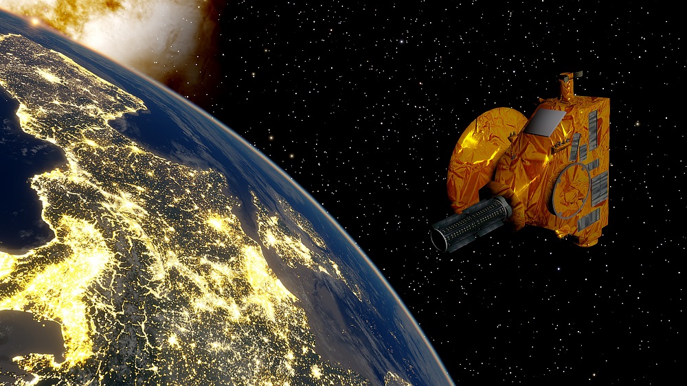
Detecting methane emissions and leaks has historically been difficult due to technical, logistical, and cost limitations. However, methane emission-tracking satellites offer an opportunity to achieve precise, timely, and affordable detection of methane on a large scale, particularly if machine learning models can be applied to the remote sensing data they capture.
In the Microsoft Energy Core AI Academy Hackathon, Hydrocarbon Release and Its Environmental Impact, a team from Khalifa University, placed third, finding new ways to harness machine learning techniques to identify methane emissions and leaks from satellite remote sensing data.
A hackathon is an event typically lasting several days, in which a large number of people meet to engage in solving a targeted challenge. Aysha Alharam, Ahmed Bushlaibi and Hamzeh Issa, mentored by Dr. Prashanth Marpu, Associate Professor in the Department of Electrical Engineering and Computer Science, developed an application that placed third in the event, with the team invited to present their solution to the Energy Core industry board executive members following the Hackathon. First and second place were awarded to Shell and Repsol, both companies with significant research and development departments.
The team built an application to find the sources of a methane leak, classify each detected reading as either a source or a consequence of another source, and to separate these detections from others in order to make locating and fixing the leak much easier and cheaper. The team used the data from the Sentinel 5P, a satellite measuring the atmosphere above the Permian basin and Saudi Arabia, over a 10-day period.
Their method involved satellite data pre-processing to eliminate all data points that did not meet the requirements, tracking the source of the leakage by tracing points and clusters, and then using visualization techniques to indicate the source of the methane leak. They built a timeline to identify each cluster of data points that indicated methane and link these clusters with their corresponding possible sources from past data. Using this approach, they could pinpoint the correct methane source using multiple parameters, like the concentration, distance and density of the gas.
This solution could be further improved with more data to verify the methods and by applying more parameters such as wind direction to make the results more precise.
As fossil fuels will remain an essential part of the energy mix for the foreseeable future, the industry needs proper detection, reporting and analysis mechanisms to manage production safety and its ecological impact.
Jade Sterling
Science Writer
23 November 2020